Exploring our Lake and Watershed
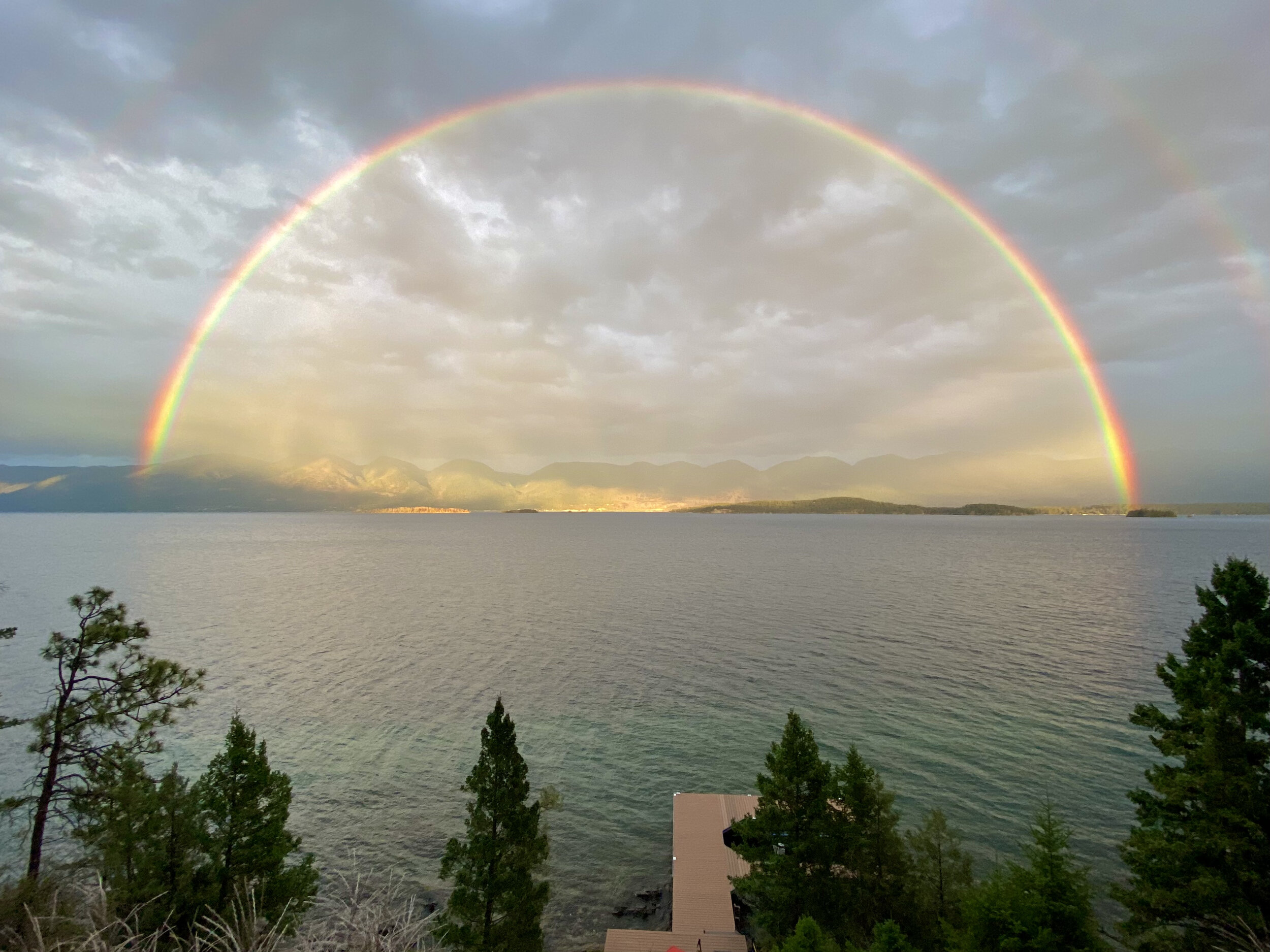
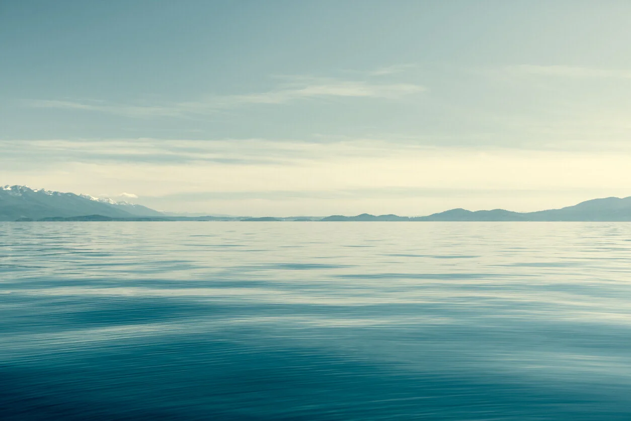
Flathead Lake
Flathead Lake is the largest freshwater lake west of the Mississippi River. It is almost 28 miles long and up to 15 miles wide with a maximum depth of 370 feet.
It is one of the cleanest lakes of its size and type anywhere in populated areas of the world. The clarity of Flathead Lake’s waters is renowned. In the summer it is often easy to see through twenty feet of the water column. The lake is so clear because it is relatively low in nutrients (phosphorus and nitrogen) which promote the growth of algae.
The southern half of the lake is on the Confederated Salish and Kootenai Tribes’ Flathead Indian Reservation. The tribes manage water quality on the reservation, and jointly manage fisheries in the lake with the state of Montana’s Department of Fish, Wildlife and Parks.
The lake is inhabited by native bull trout and cutthroat trout. Fisherman seek trophy-size lake trout, yellow perch, and lake whitefish in its waters.
Local legend even tells of a creature rivaling ‘Nessie’ residing in its depths.
Wildlife and birds are abundant, inhabiting the lake’s shores and islands.
Wildhorse Island, at 2,170 acres, is the largest island in the lake. Most of the island is managed for wildlife by the Department of Fish, Wildlife and Parks. Its name comes from its history as a refuge for a local tribe’s horses when raiding tribes ventured into the area. A few wild horses can still be found here along with bighorn sheep and deer.
A wildlife refuge managed by the U.S. Fish and Wildlife Service is located on the north shore of the lake. Six state parks are scattered along the lake’s shores, offering opportunities for boating, sailing fishing, camping and swimming.
Those of us who live or visit here treasure the special natural, recreational, spiritual and economic values Flathead Lake and its tributaries provide.
Learn more Flathead Lake facts, statistics, native and nonnative fish species, maps, and lake level information at FLBS’s Lake Facts page.
Flathead Watershed
A watershed is an area of land that drains into a particular stream or river. It is also called a drainage basin or catchment.
The Flathead Watershed includes all the land that drains into Flathead Lake and the Flathead River – a huge area stretching west from the Continental Divide to the Salish Mountains and from across the Canadian border in the north to the Clark Fork River in the south. The Flathead Watershed contains many smaller watersheds.
Water flows from pristine headwaters in Glacier National Park, the Bob Marshall Wilderness and other wild lands, through forests, farms, and cities. The waters of the Flathead, Stillwater, Whitefish, and Swan rivers all join in Flathead Lake, the largest natural freshwater lake west of the Mississippi River. Altogether, the Flathead Watershed drains six million acres of scenic landscapes.
Rivers
The Flathead River is the largest tributary of the Clark Fork River and headwaters of the Columbia River.
Headwaters in the mountains and protected areas help sustain fish and wildlife and clean water in the watershed. The Flathead National Forest administers the largest amount of public land in the watershed, approximately 60% of forested lands in the North, Middle and South Forks of the Flathead, and the Swan and Stillwater drainages. Recharge areas found in Glacier National Park, the Bob Marshall Wilderness and other undisturbed forested lands provide clean water to the rivers and lakes of the watershed.
The three forks of the Flathead River contribute about 85% of the water entering Flathead Lake. Flows into and through the lake are partially controlled by Hungry Horse Dam on the South Fork of the Flathead River and Kerr Dam near the lake’s outlet.
The large valleys of the watershed were scoured by recurring glaciers, leaving a trail of alluvial (gravel, sand, silt and clay) and outwash (gravel and sand mixture) deposits and glacial till (materials of all sizes pushed by advancing glaciers). Many lakes, wetlands and floodplains were formed by the glaciers.

Flathead Watershed - River Conditions Interactive Map
Explore river and lake conditions in the Flathead Watershed , including water temperature, streamflow data, fishing access sites, closures, AIS inspection stations, and more.

Did you know?
that unique river formations, such as sloughs along the Flathead River, host a diversity of plants and animals, and provide opportunities for recreation.
The watershed is inhabited by several species listed as threatened or endangered, including the bull trout, grizzly bear, peregrine falcon, bald eagle, gray wolf and lynx. It is also home to more than 300 species of aquatic insects, including 105 kinds of stoneflies comprising one-fourth of all stoneflies in North America.
Bald eagles and osprey use the Flathead River and Flathead Lake shoreline for nesting. The Flathead River between Kalispell and Flathead Lake has one of the highest densities of osprey nests in Montana. Bull and westslope cutthroat trout spawn in tributaries to Flathead Lake.
Grizzly bears reside in the large forested expanses found along the Continental Divide, including Glacier National Park, the Bob Marshall Wilderness and the Flathead National Forest.

Flathead Lake: A barometer of watershed health
The very qualities that make the Flathead Watershed special are a magnet for population growth. The populations of Flathead and Lake counties grew by 26% in the 1990s, twice the rate for the state of Montana. The pressures and demands that accompany growth jeopardize clean water in the watershed.
Water quality in Flathead Lake is a barometer of the ecological health of the entire Flathead Watershed. As sediments and nutrients in its tributaries increase, algae growth in the lake increases. The quality of Flathead Lake reflects how well we are living in balance with our environment. Clean water and healthy ecosystems profoundly influence quality of life and economic vitality in the Flathead Watershed.
Unfortunately, water quality in Flathead Lake is declining due to increasing sediments and nutrients from urban sprawl, old and poorly maintained septic systems, poor agricultural and timber harvest practices, destruction of riparian habitat, and air pollution.
Researchers at the University of Montana’s Flathead Lake Biological Station at Yellow Bay report that since 1977 there has been an upward trend in Flathead Lake’s primary productivity, a measure of the body of water’s ability to sustain algae. An increase in primary productivity is considered a decrease in water quality. Polluted runoff, or nonpoint source pollution, is the main problem. Polluted runoff occurs when rain and melting snow flow over the ground picking up pollutants and depositing them in rivers, lakes and groundwater.
Researchers at the biological station report, not surprisingly, that the largest portion of total nutrients delivered to Flathead Lake comes from the more heavily developed and populated areas of the watershed in the Flathead Valley.
Lands critical to water quality, such as wetlands, vegetated riparian corridors and floodplains, often serve as the “kidneys” of rivers and lakes. In a natural state they provide a buffer that filters out nutrients and other pollutants before they reach the water.
These areas also contribute to quality of life by providing wildlife habitat and travel corridors, scenery and recreational opportunities.